Heavy Snow and Avalanche Alerts in Myoko: How JMA's Warnings Work
Published on: 14/11/2026
What JMA's heavy snow, snowstorm and avalanche alerts mean, how much snow triggers them in Myoko, how much notice you get, and where to check in English.
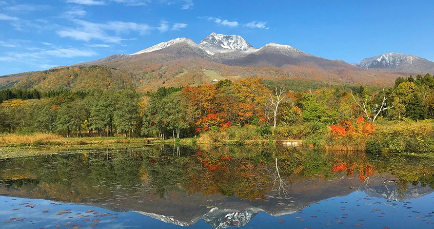
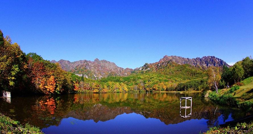
Photo: “Mount Myoko with early snow, reflected in the still water of Imori Pond, with autumn trees along the shore” (Ministry of the Environment, Japan / 環境省), https://www.env.go.jp/nature/nationalparks/list/myoko-togakushi-renzan/spot/. Edited (cropped and resized). Used under the Public Data License (PDL) Version 1.0.
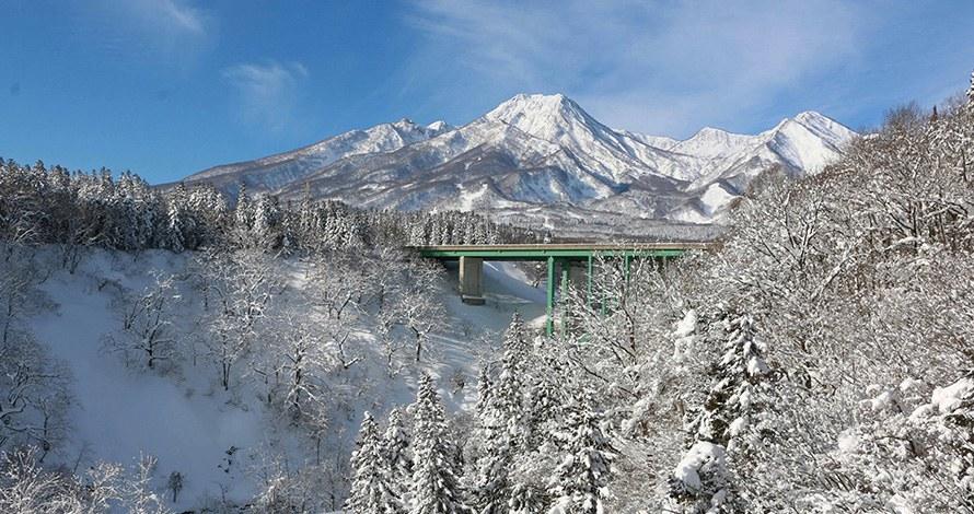
What JMA's heavy snow, snowstorm and avalanche alerts mean, how much snow triggers them in Myoko, how much notice you get, and where to check in English.
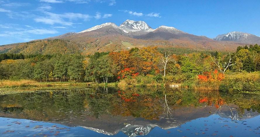
Mt Myoko at 2,454 m: how the volcano formed, its current JMA status, the mountain's Buddhist past, the voluntary entry fee and how to file a climbing plan.
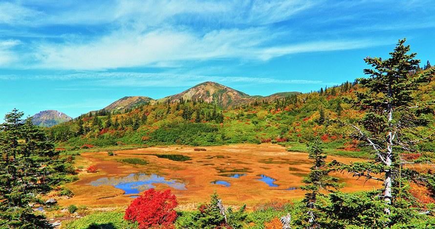
Mt Hiuchi (2,462 m) above Myoko: the Koyaike and Tengu-no-Niwa wetlands, booking the Koyaike hut, the endangered rock ptarmigan, and filing a climbing plan.
Niigata's 2025 mountain accident figures and causes, how to file a climbing plan by app, email or post, and what police ask of winter backcountry skiers.